Global hydrology from satellites
We use decades of Landsat imagery and newer missions such as SWOT to measure river migration, sediment, and water surface elevation for rivers around the world, including the many rivers without a stream gauge.
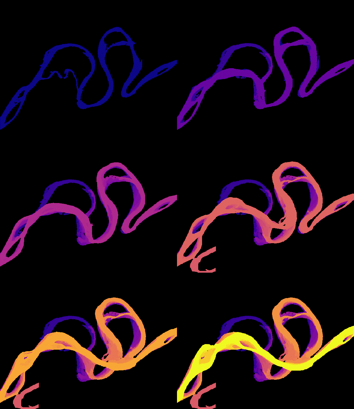
Satellites observe rivers and lakes worldwide on a regular schedule, including in regions with few stream gauges. We use this record to measure long-term riverbank erosion and accretion, map suspended sediment, and track water surface elevations with the Surface Water and Ocean Topography (SWOT) mission.
We also study the limits of these observations. For example, cloud cover systematically biases the river conditions that optical satellites record, especially for tropical and Arctic rivers. Accounting for these biases is necessary for using satellite records to study how rivers change.
Related publications
Assimilating SWOT Level 4 River Discharge into a Macroscale Hydrologic Model
Remote Sensing of Environment (in review)
Water Resources Research (in press)
Estimating Daily Suspended Sediment Flux from Multiple Data Sources using Deep Learning
Journal of Geophysical Research
Abstract
Suspended sediment concentration, flux, and river discharge are essential indicators of river ecosystem health and reflect watershed-scale processes. Monitoring these variables is labor-intensive, leading to sparse and geographically biased observations and the development of models to fill in the observational gaps. These models generally use either climatological data or satellite images to estimate one of these variables. In this work, we present a novel deep learning model that can leverage multiple data sources with different temporal characteristics to produce continuous daily estimates of suspended sediment concentration (SSC), suspended sediment flux (SSF), and discharge. The model first encodes daily hydrological data from the ERA5-Land reanalysis using a Long Short-Term Memory network and water color data from Landsat satellites using a Multi-Layer Perceptron network, then merges these encoded data sources using a cross-attention decoder. We train and test the model on a large dataset of in-situ observations from 630 river sites over 43 years in the contiguous United States, covering a wide range of watersheds and conditions. We produce SSC, SSF, and discharge predictions with respective relative errors of 54%, 73%, and 28%, and relative bias of -15%, -19%, and -3%. We use our model to create a dataset of continuous daily SSC, SSF, and discharge for all large rivers in the contiguous United States. This new model architecture provides a valuable tool for monitoring river systems, addressing limitations of single-source models and offering a framework applicable to other Earth systems monitoring problems where integrating diverse data streams may be useful.
Global Cloud Biases in Optical Satellite Remote Sensing of Rivers
Geophysical Research Letters
Abstract
Satellite imagery provides a global perspective for studying river hydrology and water quality, but clouds remain a fundamental limitation of optical sensors. Explicit studies of this problem were limited to specific locations or regions. In this study, we characterize the global severity of this limitation by analyzing 22 years of daily satellite cloud cover data and modeled river discharge for a global sample of 21,642 river reaches of diverse sizes and climates. Our results show that the bias in observed river discharge is highly organized in space, particularly affecting Tropical and Arctic rivers. Given the fundamental nature of this cloud limitation, optical satellites will always provide a biased representation of river conditions. We discuss several strategies to mitigate bias, including modeling, data fusion, and temporal averaging, yet these methods introduce their own challenges and uncertainties.
Estimating Riverine Total Suspended Solids from Spatiotemporal Satellite Sensor Fusion
IEEE Journal of Selected Topics in Applied Earth Observations and Remote Sensing
Chapter A2.4 in Cloud-Based Remote Sensing with Google Earth Engine: Fundamentals and Applications. Springer Nature
Remote Sensing of Environment
Peace-Athabasca Delta Water Surface Elevations and Slopes Mapped from AirSWOT Ka-band InSAR
Remote Sensing Letters
Mapping and Characterizing Arctic Beaded Streams Through High Resolution Satellite Imagery
Remote Sensing of Environment
Global Observations of Riverbank Erosion and Accretion from Landsat Imagery
Journal of Geophysical Research: Earth Surface
Athabasca River Avulsion Underway in the Peace-Athabasca Delta, Canada
Water Resources Research
Mapping Flow-Obstructing Structures on Global Rivers
Water Resources Research
A Participatory Science Approach to Expanding Instream Infrastructure Inventories
Earth’s Future
Journal of Hydrology
Frontiers in Earth Science
A High-Resolution Airborne Color-Infrared Camera Water Mask for the NASA ABoVE Campaign
Remote Sensing