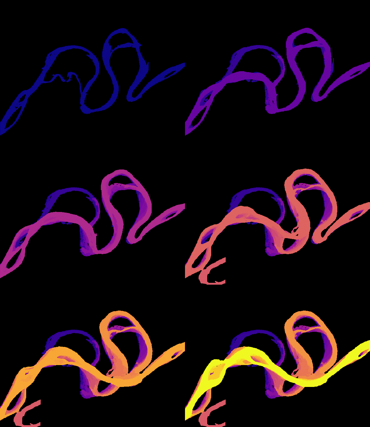
Global hydrology from satellites

We use decades of Landsat imagery and newer missions such as SWOT to measure river migration, sediment, and water surface elevation for rivers around the world, including the many rivers without a stream gauge.

Read more →
Low-cost, open-source sensors

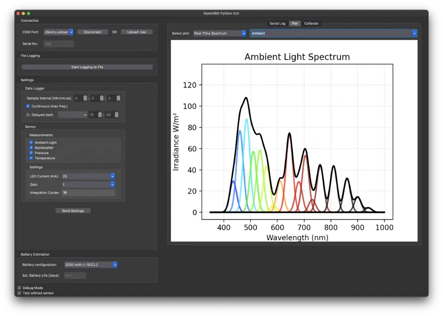
We design OpenOBS, an open-source turbidity and depth logger that costs a fraction of a commercial instrument. Its low cost lets field campaigns deploy many sensors at once, including under river ice.

Read more →

Generalizable deep learning

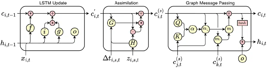
We build deep learning models that combine climate reanalysis, satellite imagery, and in-situ records to estimate river discharge, sediment flux, and lake ice where direct measurements are sparse.

Read more →