Global hydrology from satellites
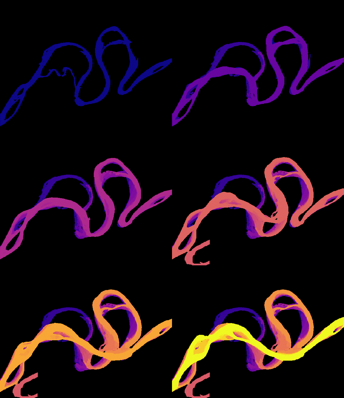
We use decades of Landsat imagery and newer missions such as SWOT to measure river migration, sediment, and water surface elevation for rivers around the world, including the many rivers without a stream gauge.
The Digital Rivers Lab studies the quantity and quality of water in rivers and lakes, from individual river reaches to global patterns. We combine satellite remote sensing, low-cost sensing technology, and deep learning models. Our aim is to use these observational and predictive tools to help monitor water resources, manage infrastructure, and protect ecosystems.
We are located in the School of Computing and the Department of Geology & Geophysics at the University of Wyoming.
We use decades of Landsat imagery and newer missions such as SWOT to measure river migration, sediment, and water surface elevation for rivers around the world, including the many rivers without a stream gauge.
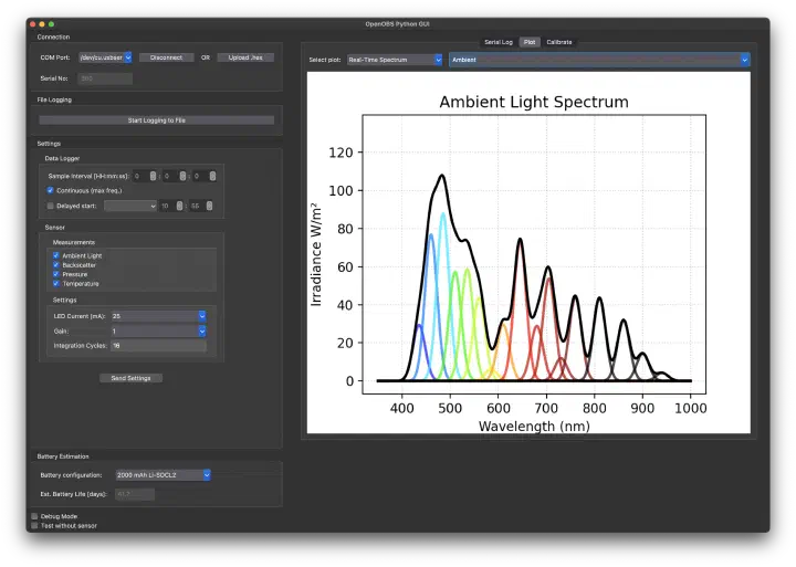
We design OpenOBS, an open-source turbidity and depth logger that costs a fraction of a commercial instrument. Its low cost lets field campaigns deploy many sensors at once, including under river ice.
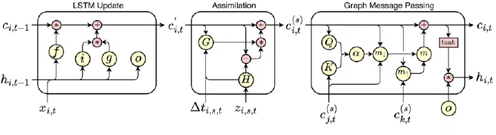
We build deep learning models that combine climate reanalysis, satellite imagery, and in-situ records to estimate river discharge, sediment flux, and lake ice where direct measurements are sparse.
The Digital Rivers Lab is now open at the University of Wyoming, jointly in the School of Computing and the Department of Geology and Geophysics.
Assimilating SWOT Level 4 River Discharge into a Macroscale Hydrologic Model
Remote Sensing of Environment (in review)
Water Resources Research (in press)
Estimating Daily Suspended Sediment Flux from Multiple Data Sources using Deep Learning
Journal of Geophysical Research
Suspended sediment concentration, flux, and river discharge are essential indicators of river ecosystem health and reflect watershed-scale processes. Monitoring these variables is labor-intensive, leading to sparse and geographically biased observations and the development of models to fill in the observational gaps. These models generally use either climatological data or satellite images to estimate one of these variables. In this work, we present a novel deep learning model that can leverage multiple data sources with different temporal characteristics to produce continuous daily estimates of suspended sediment concentration (SSC), suspended sediment flux (SSF), and discharge. The model first encodes daily hydrological data from the ERA5-Land reanalysis using a Long Short-Term Memory network and water color data from Landsat satellites using a Multi-Layer Perceptron network, then merges these encoded data sources using a cross-attention decoder. We train and test the model on a large dataset of in-situ observations from 630 river sites over 43 years in the contiguous United States, covering a wide range of watersheds and conditions. We produce SSC, SSF, and discharge predictions with respective relative errors of 54%, 73%, and 28%, and relative bias of -15%, -19%, and -3%. We use our model to create a dataset of continuous daily SSC, SSF, and discharge for all large rivers in the contiguous United States. This new model architecture provides a valuable tool for monitoring river systems, addressing limitations of single-source models and offering a framework applicable to other Earth systems monitoring problems where integrating diverse data streams may be useful.
Modeling Daily Ice Cover in Northern Hemisphere Lakes with a Long-Short Term Memory Neural Network
Geophysical Research Letters
We are looking for students and postdocs interested in remote sensing, fieldwork, and machine learning. Backgrounds in computing, geoscience, and engineering are all a good fit.
Open positions
How to join →